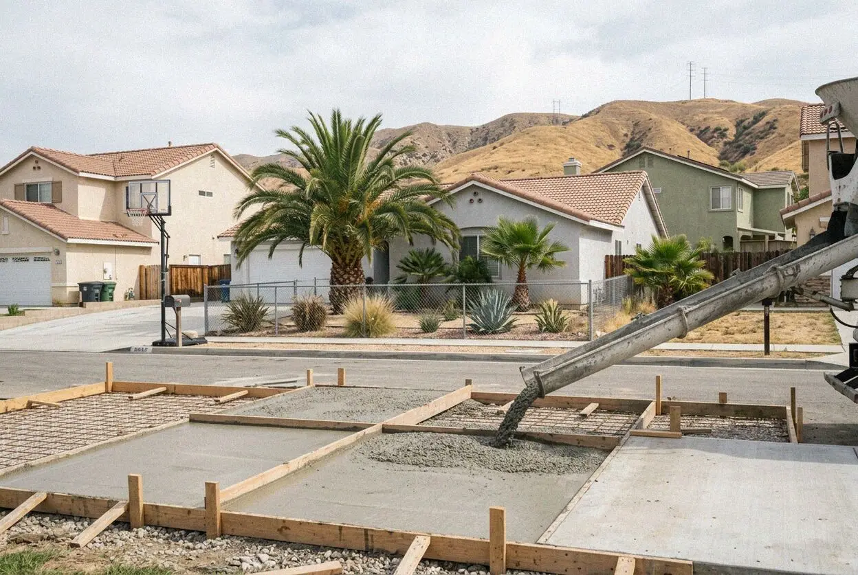
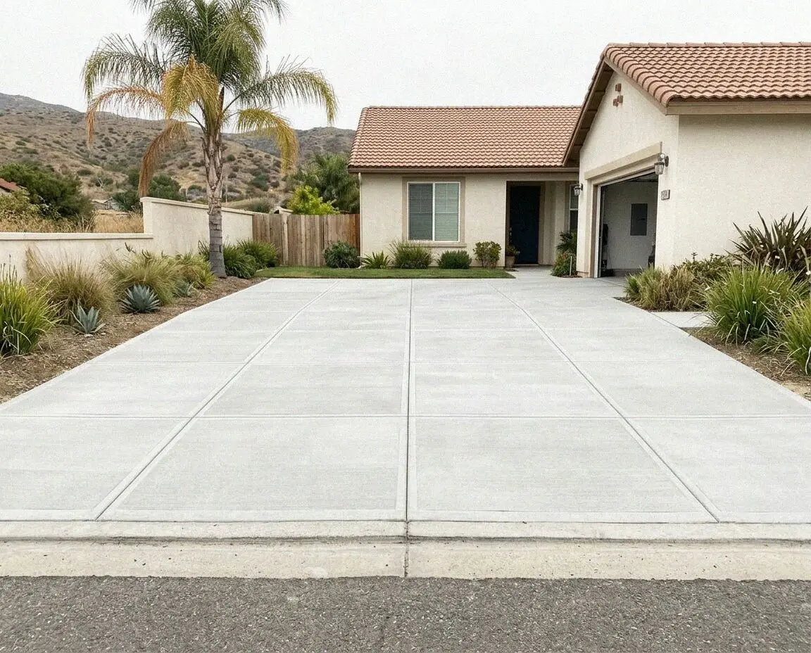
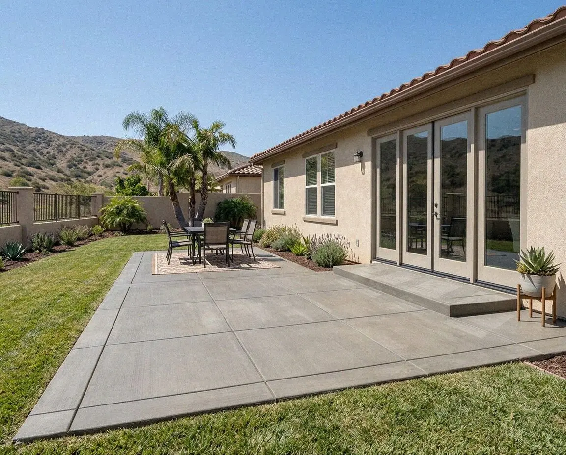
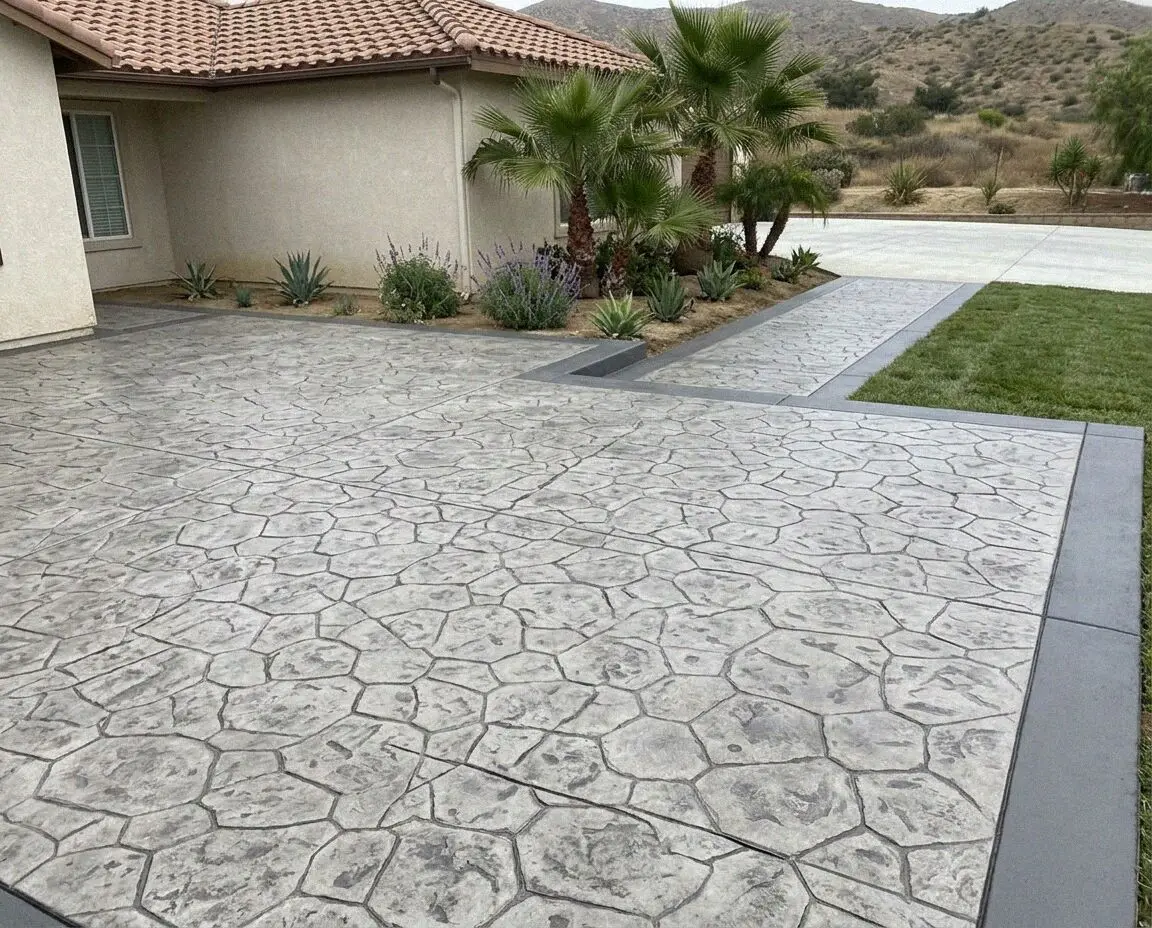
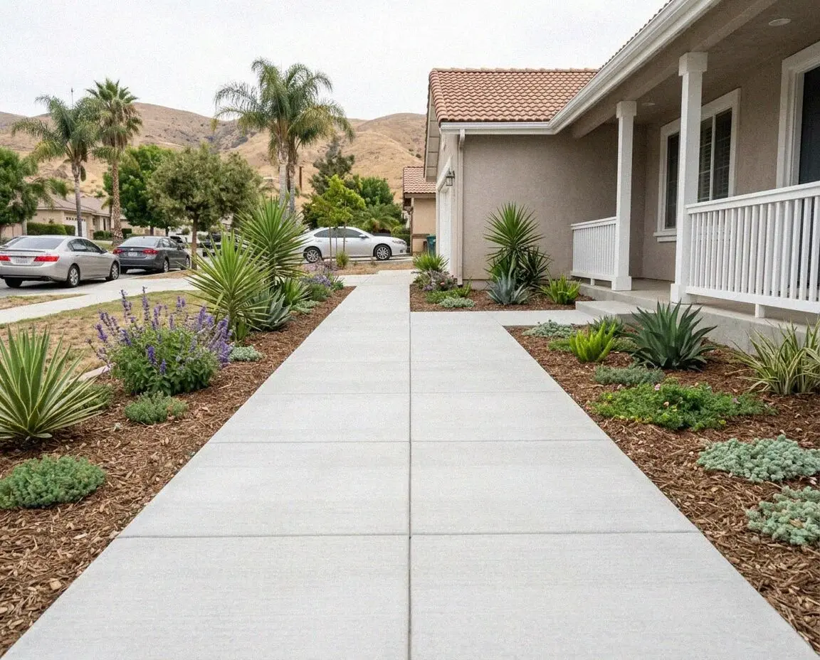
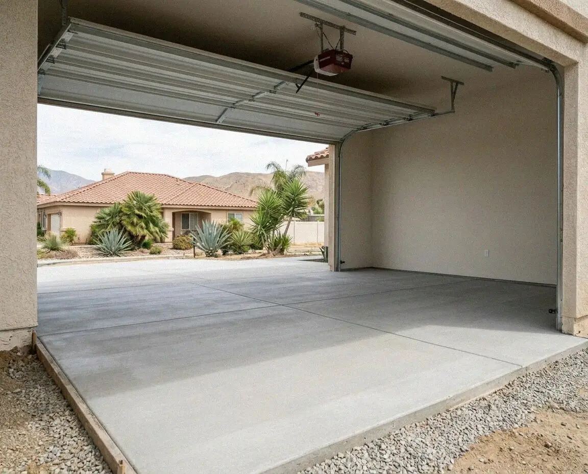
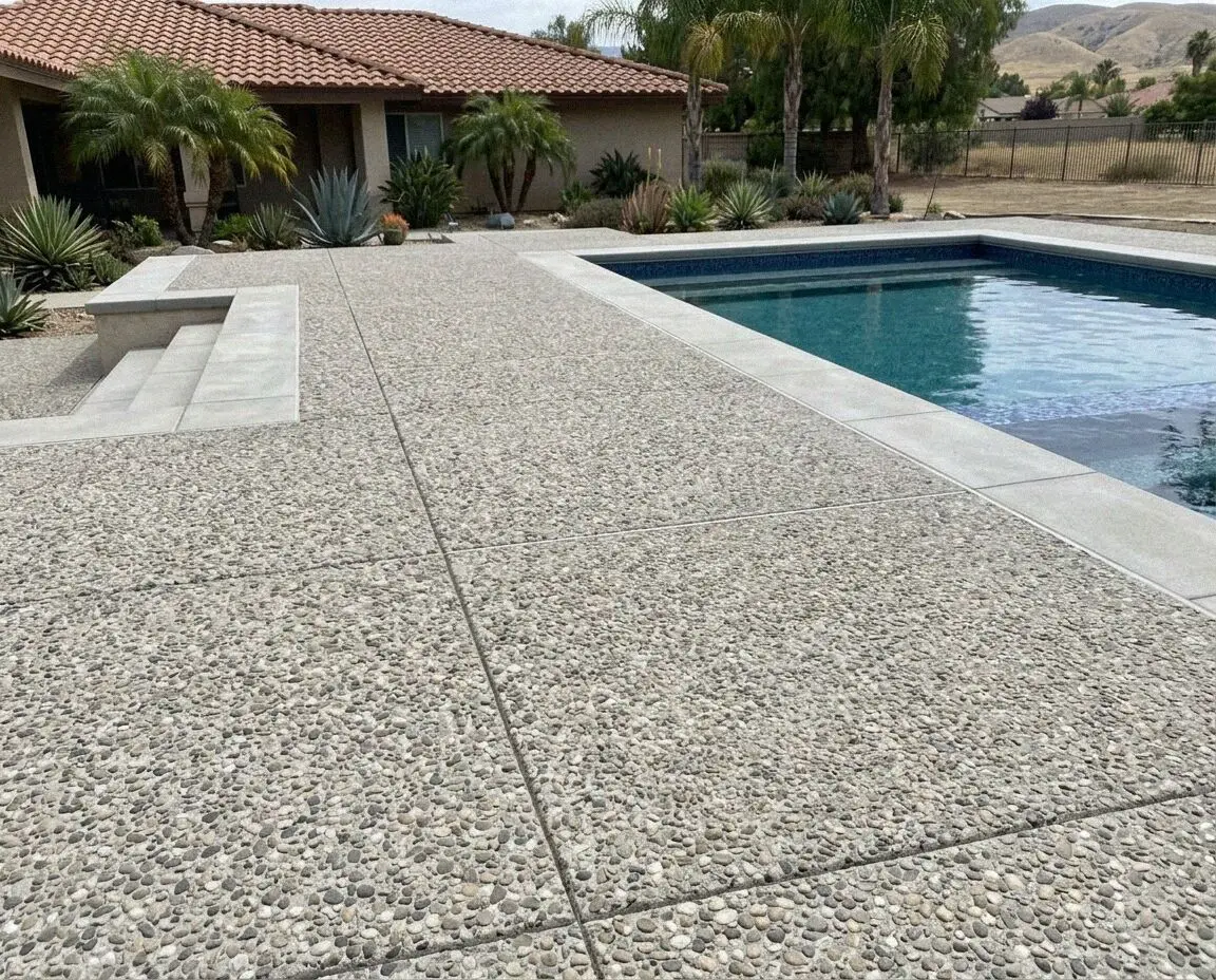
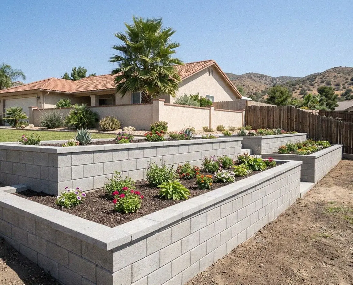
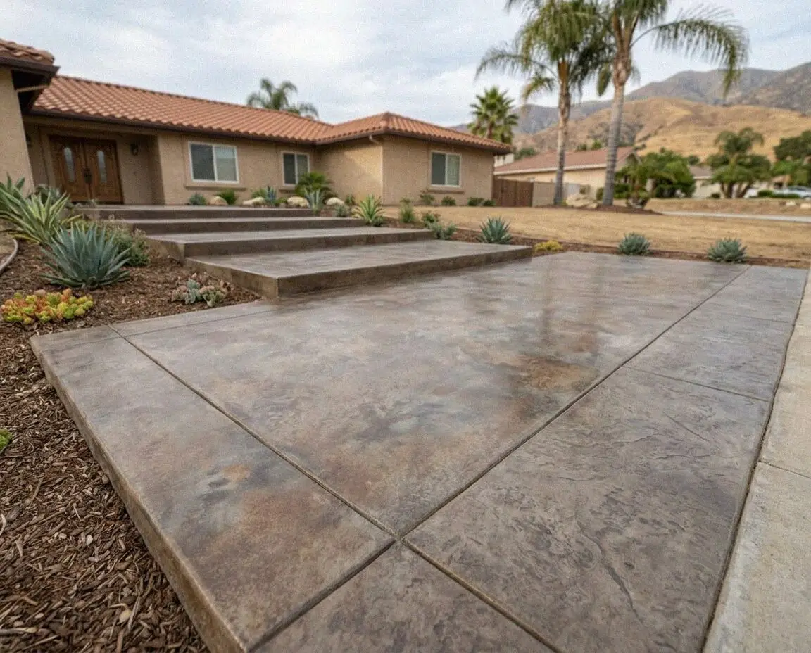
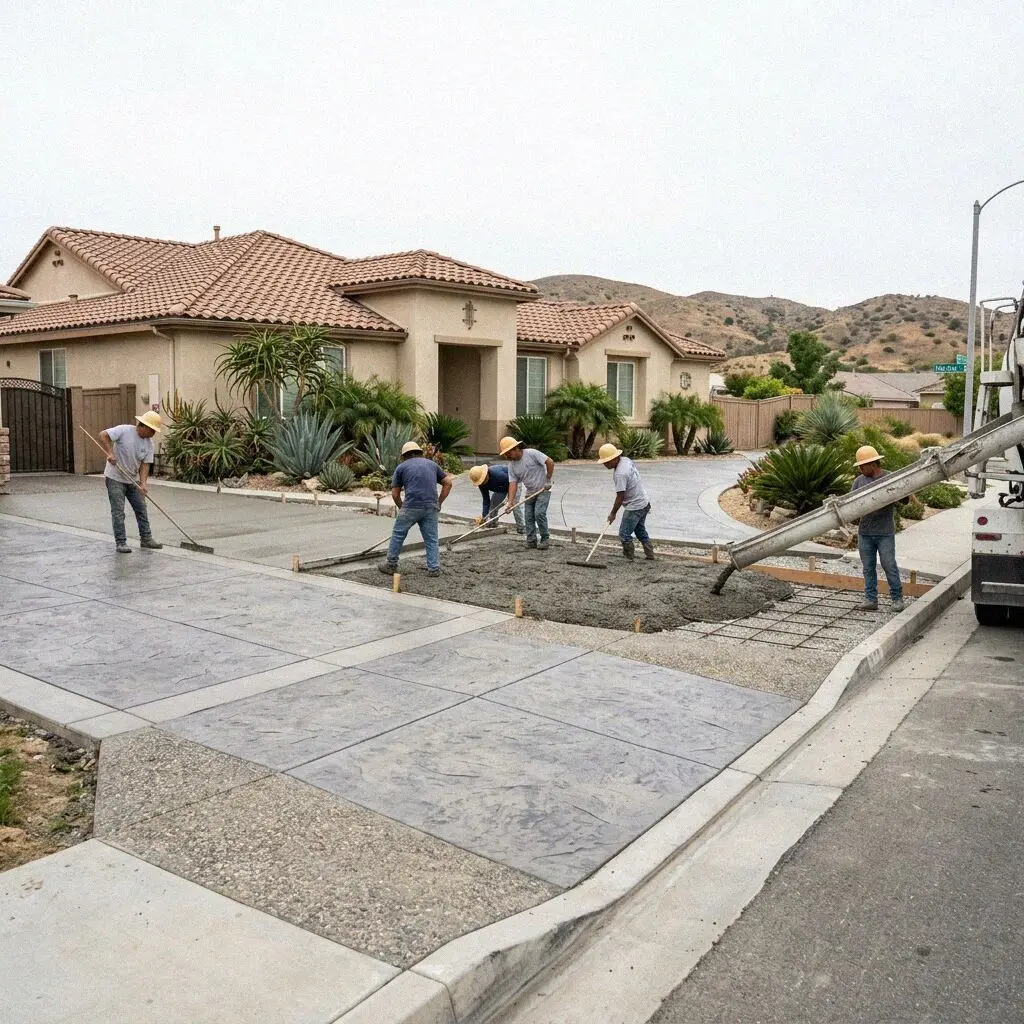
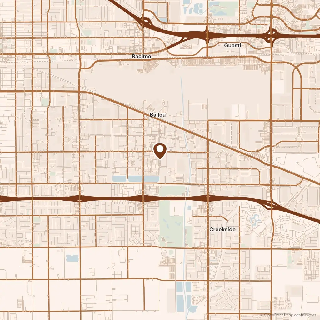
Our yard is on Holt Boulevard in Ontario, and the drive to Colton is 16 miles east on Interstate 10 to the Mount Vernon Avenue exit, so a crew is on site in half an hour outside the morning rush. Plans go to the City of Colton Building Division in San Bernardino County. Colton also runs its own electric utility, so the meter and the service drop on a lot belong to the city and not to Edison, and a wall or a footing near them is planned with the city before we dig.
The oldest streets sit around the Union Pacific and BNSF crossing that gave Colton its Hub City name, between Valley Boulevard and the tracks, and the houses there are prewar bungalows on raised foundations with a narrow walk down one side. South of Interstate 10, Cooley Ranch went up in the 1980s on flat graded lots with wide side yards, and a mixer backs straight in. Reche Canyon runs south into the hills on decomposed granite rather than river sand, and the part of it outside the city line is permitted by San Bernardino County.
The Santa Ana River runs along the south and west of the city, and Colton's own drainage falls toward it, so a slab graded to the street sends water the same way the ground already does. The calendar is the Inland Empire's. From June to September the valley passes 100 degrees, so we pour at first light and keep the surface wet for the first day, and from December to March we watch the forecast for rain, since sand that is soaked and then loaded settles under the base before it has been compacted.